Skip to content
Groom Creek Cabins
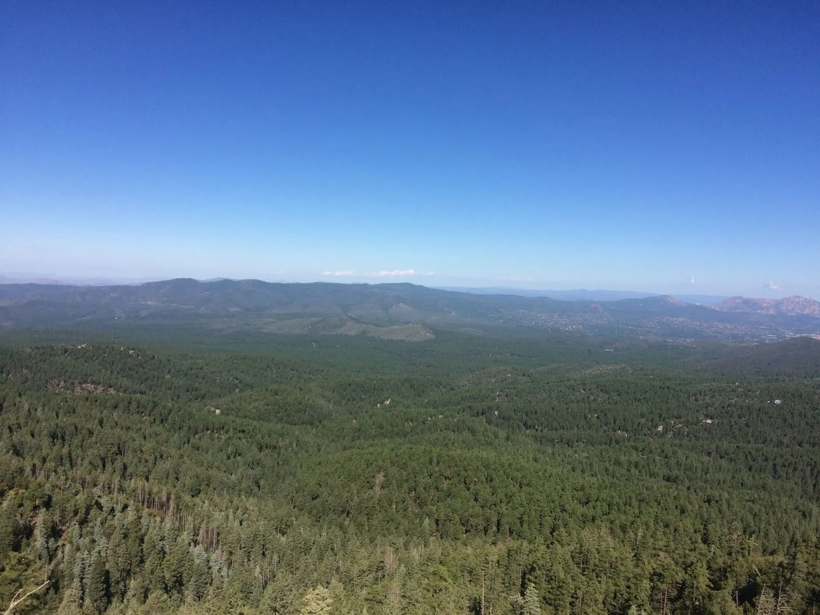
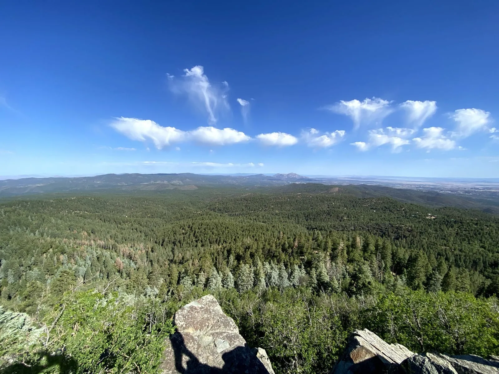
A wide view over the pine forest and distant ranges from a Prescott overlook

Travel Tips

The Best Hikes Around Prescott (Easy to Epic)

Ten trails around Prescott with real distances, elevation gain, trailheads and fees, from a flat 2.3-mile lake loop to a 9-mile climb to a fire lookout at 7,693 feet.

May 20, 2026 · The Owners · Updated September 3, 2026

Prescott has trails in three completely different landscapes within 20 minutes of each other: ponderosa forest to the south, granite boulder country to the north, and lake loops in between. Here are ten worth the drive, with the numbers.

The trails

TrailDistanceElevation gainShapeTrailheadFee
Lynx Lake Loop #3112.3 miMinimalLoopLynx Lake, off Highway 69$5 forest
Balancing Rock #3493.2 miModestOut and backCayuse Trailhead, Granite Basin$5 forest
Constellation Loop2.5 mi232 ftLoopConstellation Trails, north PrescottFree
Thumb Butte #332.0 mi603 ftLoopThumb Butte Recreation Area$5 forest
Watson Lake and Flume4.8 mi423 ftLoopWatson Lake ParkCity fee
Willow Lake Loop5.4 mi431 ftLoopWillow Lake ParkCity fee
Peavine Trail5.5 mi each wayAlmost noneOut and backWatson Woods, off Sundog Ranch RdCity fee
Goldwater Lakes #3966.1 mi672 ftLoopGoldwater Lake$5 city
Granite Mountain #2618.2 miabout 1,450 ftOut and backMetate Trailhead, Granite Basin$5 forest
Groom Creek Loop #3079.2 mi1,614 ftLoopGroom Creek Horse Camp, Senator HwyFree

Distances and gain from AllTrails and Forest Service data. GPS totals vary by a few tenths depending on where you park and which spur you take. Checked September 2026.

If you only have an hour

Thumb Butte #33. Two miles, 603 feet of climb, and the view that ends up on everyone’s phone. It is Prescott’s signature hike for a reason: short enough to do before lunch, steep enough that it counts. The loop is paved for the first stretch and then turns to rock. Go counterclockwise for the gentler climb.

Lynx Lake Loop #311 if you want flat. Twelve minutes from Groom Creek, 2.3 miles around the water, shaded most of the way, and fine for anyone.

If you have a morning

Groom Creek Loop #307 to Spruce Mountain. This is the big one, and it starts seven minutes from our cabins. Nine miles, 1,614 feet of climb, from 6,400 feet at the horse camp to the fire lookout at 7,693 feet. Ponderosa the whole way, which means shade, which means it is genuinely doable in July. Go clockwise and the climb is spread out instead of front-loaded.

Granite Mountain #261 is the other half-day. Two and a half miles of easy approach through Granite Basin, then a steady climb up switchbacks to the saddle at about 7,100 feet, with the option to continue to the vista. Completely different country from Spruce Mountain: granite slabs, scrub oak, big exposed views. Bring more water than you think, because there is very little shade after the first mile.

Worth knowing, because it is widely misreported: the cliff faces of Granite Mountain and Thumb Butte close to climbing from 1 February to 15 July each year for peregrine falcon nesting. Both sites have held nesting peregrines for more than 25 years. The closure does not affect Trail #261 or any other system trail, so the hiking stays open all spring. It is the rock routes that shut, not the path.

If you want the strange scenery

Watson Lake and the Granite Dells, on the Flume Trail. Under 5 miles, but it is not a stroll: the route scrambles over the granite with white dots painted on the rock to follow. It is the most photographed landscape in the county and looks nothing like the rest of Arizona.

Willow Lake Loop is its quieter neighbor, similar length, more open, better in the cool months when there is no shade to miss.

Peavine Trail. An old Santa Fe railroad grade, so it is dead flat for its whole 5.5 miles. That makes it the one to pick with a stroller, a bad knee, or a bike. Walk out 20 minutes for the best of the Dells views and turn around.

The practical stuff

Fees. $5 per vehicle per day at the Prescott National Forest day-use sites, and paying at one covers all of them that day. Wednesdays are free. A four-month pass is $20, annual is $40. Goldwater Lake is a City of Prescott park with its own $5 fee, also free on Wednesdays.

Altitude. Trailheads start between 5,100 and 6,400 feet, and Spruce Mountain tops out near 7,700. If you have driven up from Phoenix that morning, your first hike will feel harder than the numbers suggest. Drink more than you want to.

Summer. If paddling appeals more than climbing, the lakes guide covers which ones allow what. Yavapai County runs a fire ban through most of the summer, which closes open flame everywhere including the campgrounds. Monsoon storms build in the afternoon in July and August, so start early and be off the exposed granite by two.

Winter. Five snow days a year means most winter hikes are clear, but the north faces on Spruce Mountain and Granite Mountain hold ice for days. Microspikes weigh nothing. More on what winter is actually like up here.

Where to stay

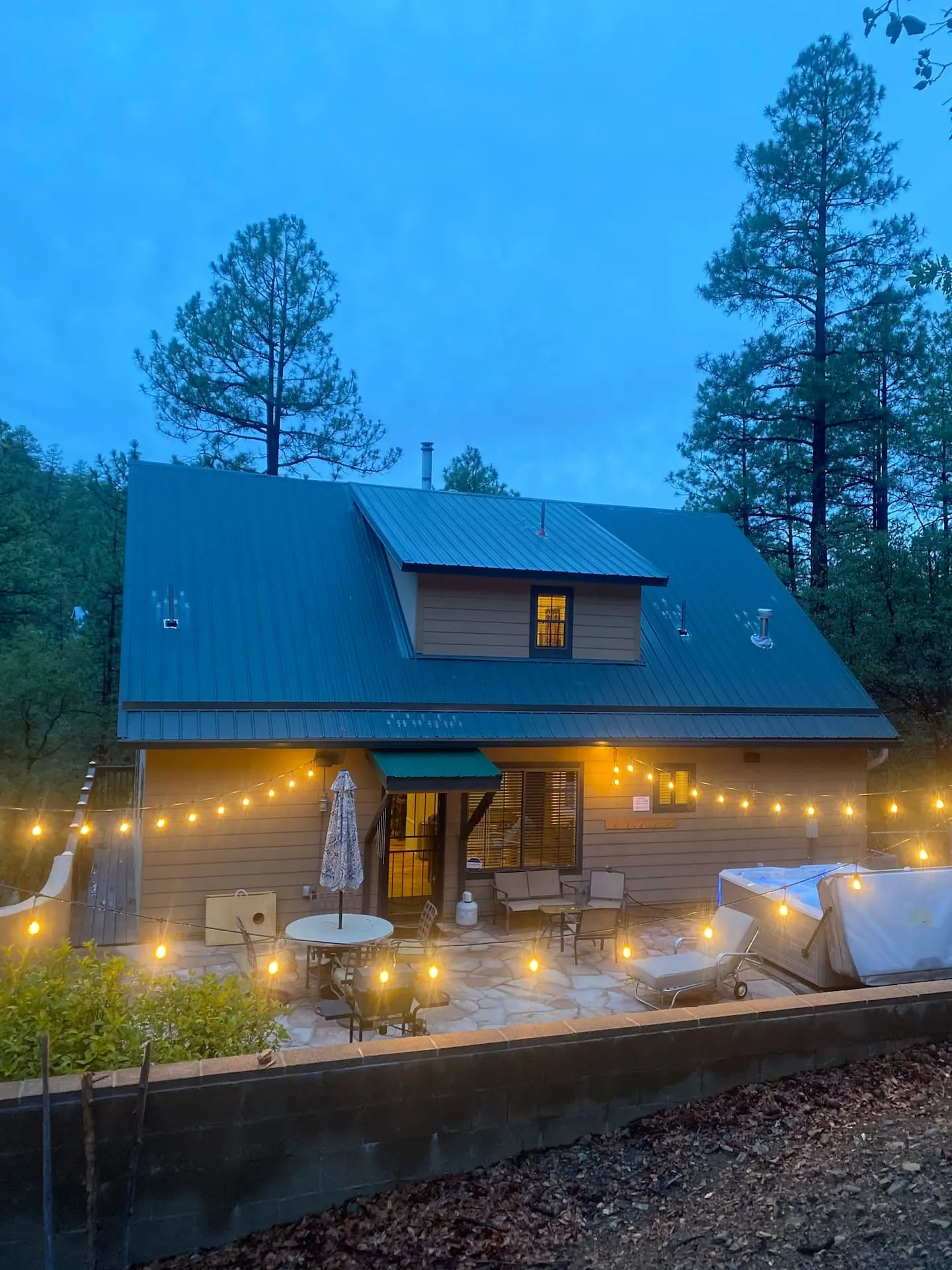
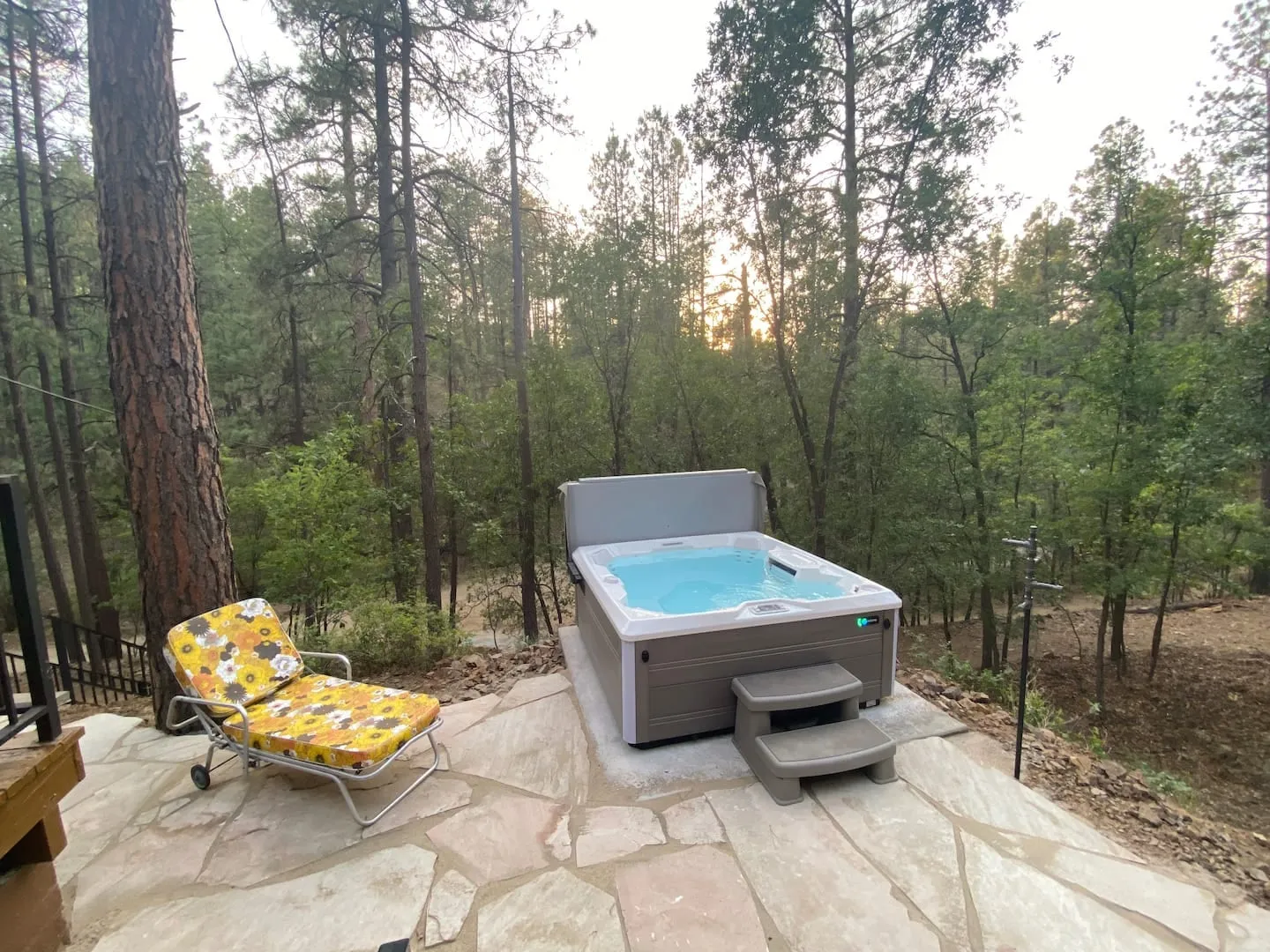
The Groom Creek Loop trailhead is a seven-minute drive from both of our cabins, and Thumb Butte, Goldwater Lake and Lynx Lake are all inside 20 minutes. Come back to a private hot tub. Check the calendar.

Common questions

What is the best hike in Prescott?

Thumb Butte Trail #33 if you have an hour, and the Groom Creek Loop #307 to Spruce Mountain if you have a morning. Thumb Butte is 2 miles with about 600 feet of climb and the view over town at the top; Spruce Mountain is 9.2 miles with about 1,600 feet of climb to a fire lookout at 7,693 feet.

Do you need to pay to hike in Prescott?

At the popular trailheads, yes, $5 per vehicle per day. That covers every Prescott National Forest day-use site for that day, including Thumb Butte, Granite Basin, Cayuse and Lynx Lake. Wednesdays are free. A four-month pass is $20 and an annual pass is $40. Goldwater Lake is a City of Prescott park with its own $5 fee, also free on Wednesdays.

What is the easiest hike near Prescott?

The Lynx Lake Loop, 2.3 miles of nearly flat trail around a pine-ringed reservoir. The Peavine Trail is the other one, an old railroad grade with almost no gradient at all, so you can walk out as far as you feel like and turn around.

Are there hikes near Prescott that stay cool in summer?

Yes, and elevation is what does it. Anything south of town in the pines runs cooler than the trails around the Dells, because the Groom Creek trailheads sit near 6,400 feet against about 5,100 feet at Watson Lake. Trails on the north side are granite and exposed, so go early there.

Can you hike around Prescott in winter?

Most of the year, yes. It snows on about five days a year, and the lake loops are usually clear. The higher trails, Spruce Mountain and Granite Mountain in particular, hold snow and ice on north-facing sections for days after a storm, so bring traction between December and March.

HikingTrailsOutdoorsComparisons

← Back to the journal

Ready for the pines?

Book directly with us, no booking-site service fees, just a cabin in the cool Arizona high country.